Welcome to paradise
La Palma, the "Isla bonita" is famous for its beauty. The protection of nature and the environment holds a major role here and exploring the island is a great pleasure. On this page we would like to introduce you to the many small and large sights and to give you suggestions for your excursions. As this page is constantly expanding, it is worthwhile to check back often.

Los Llanos de Aridane
Los Llanos is the secret capital of La Palma. In the previous century the port of entry in Santa Cruz de La Palma was a determining factor in the importance of the capital. The economic importance of banana cultivation and later tourism in Los Llanos has grown steadily since the beginning of the twentieth century, making the city at least equally significant today with the actual capital. The inhabitants are constantly working on the embellishment of their beloved city, so that it has developed into a real pearl of the Canary archipelago.
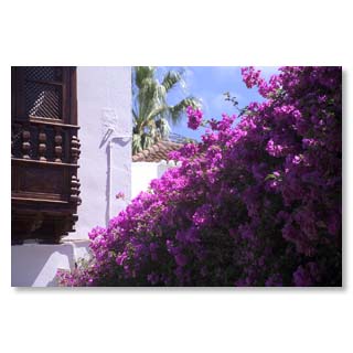
Cool shade provides this pergola from Bougainville to the guest next to the church at Plaza de España …
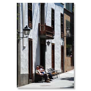
... where the really important things are regulated…
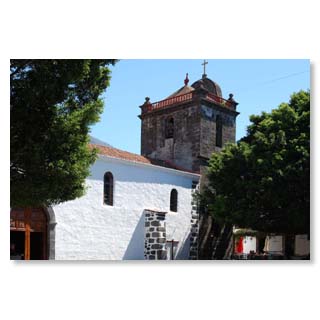
The imposing three-naves church 'Nuestra Señora Virgen de los Remedios' from the 16th century towers above the city…
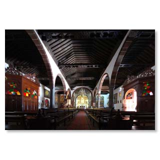
... and impresses also in the inside by the enormous ceiling construction from Tea-wood.
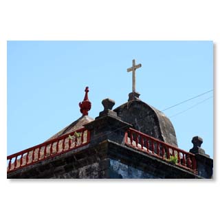
Church roof at the Plaza de España
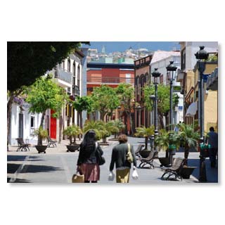
The plaza is followed by quiet alleys in the old town, like here the Calle Real…
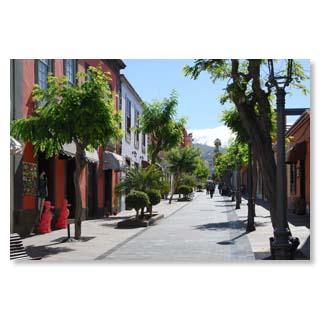
... with their colourful shops…
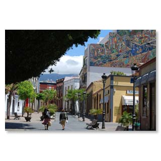
... the wall-paintings…
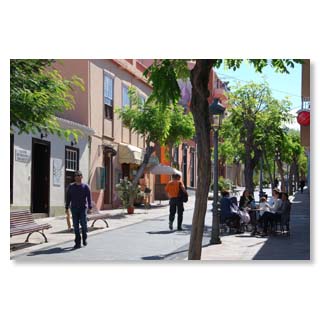
... street cafés …
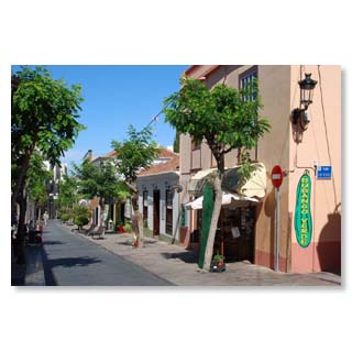
....the colourful shops......
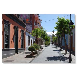
... and historical buildings.
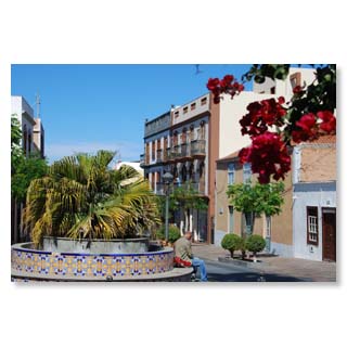
It ends with a well that cannot hide our proximity to Africa.
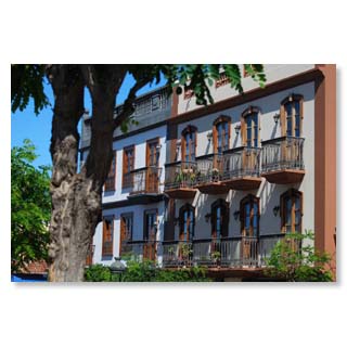
And what would La Palma be without its balconies?
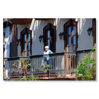
Here you take your time to look at life.
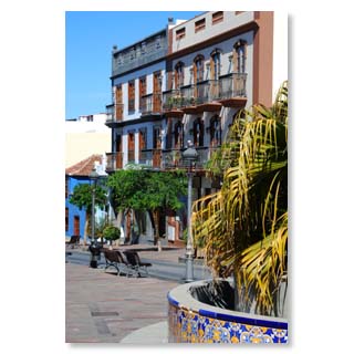
Moorish fountain
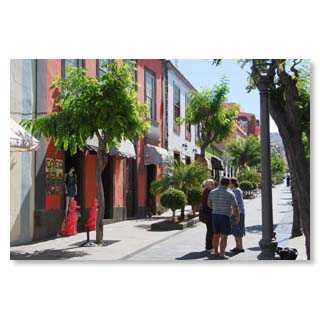
People like to talk to each other a lot and always'tranquilo
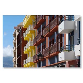
Calle Carballo leads to the…
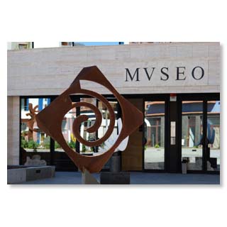
... archaeological museum, …
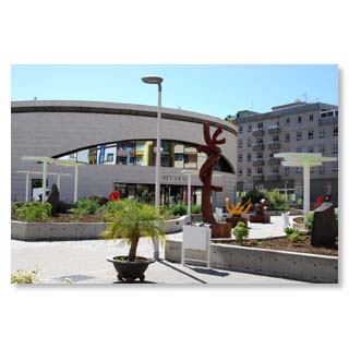
... which was accommodated in a modern round building.
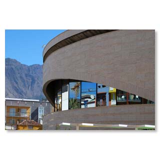
The 'Museo Arqueològico Benahoarita' shows artefacts…
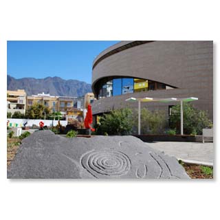
... from the time of the 'Guanches', the natives of La Palma.
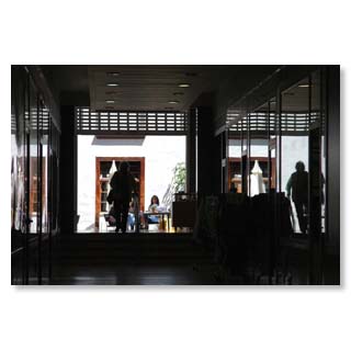
A small shopping arcade leads to Fernández Taño street…
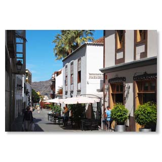
... with the Café Utopía …
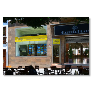
... and our office at the Plaza de España, where we welcome you warmly.
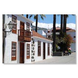
Via the Plaza Chica you get back to the…
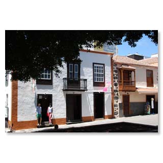
... big plaza, where even the mannequins sun themselves.
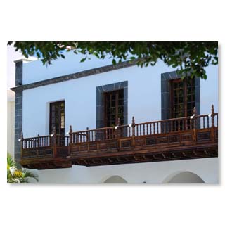
From the balcony of the town hall the mayor can overlook the plaza…
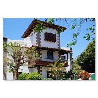
... and direct the fate of the city in an authentic ambience or…
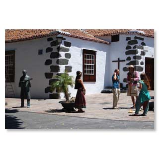
... listen to the street musicians who like to play something for their bronze colleague.
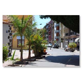
Palm trees shape the cityscape…
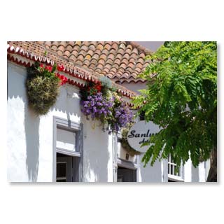
...and flowers everywhere.
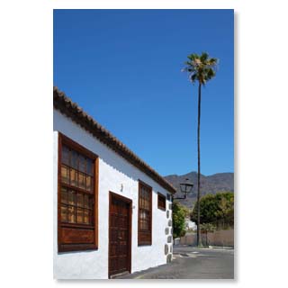
Towards Barranco de las Angustias leads the small calle Conrado Hernández and a palm tree, which appears as a static miracle.
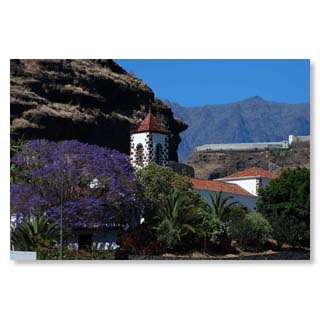
At the bottom of La Palma's largest gorge we find the church 'Nuestra Señora de las Angustias'.
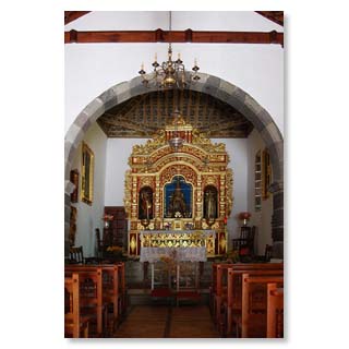
It got its name from the gorge of fear of death (Barranco de las Angustias)…
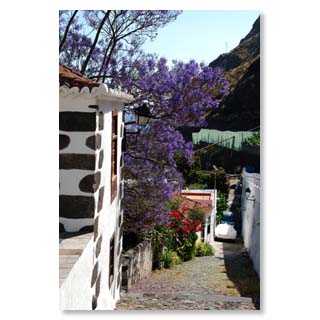
... which means the fear of death of the Spanish conquerors…
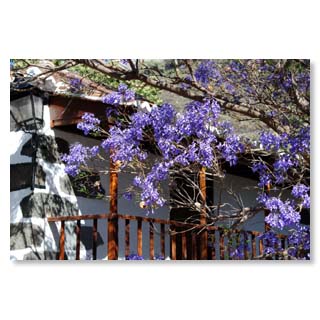
... which they endured when they were defeated by the Guaches here during their first conquest of La Palma.

Tazacorte - popular tourist resort in the west
Divided into a coastal town (puerto) and a slightly higher part (pueblo), Tazacorte is both the youngest (independent in 1925) and the smallest municipality in terms of area in La Palma. Nevertheless, with about 5.800 inhabitants, it is not that small for La Palma and with its beach and the newly built marina it is one of the most popular destinations on our island.
At the car-free beach promenade it sits and eats well in many small restaurants and cafés, the sandy beach offers very good to hardly protected bathing possibilities on approximately one kilometer length and who did not come with the own sail boat, can undertake from here with one of the most different guest boats a trip on the Atlantic Ocean. Encounters with dolphins are almost guaranteed and whales will also be seen by most visitors.
The name'Tazacorte' is often mistakenly translated as short cup' (which might well be an indication of the shape of the bay) - in reality, however, the place got its name from the Guanche chief Tazo, who fell during the conquest by the Spaniards on 29 September 1492. However, his name lives on, Tazacorte actually means'The court of Tazo.
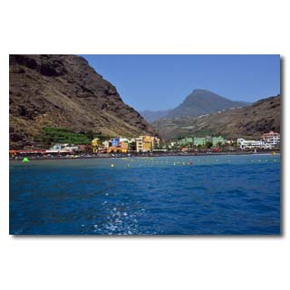
The bay of Tazacorte, from where the conquest of the island by the Spanish began in 1492
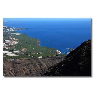
At Time, the natives (Guanches) had once set up a guard to ensure that the conquerors were duly received and initially lost.
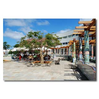
The Plaza, redesigned in Moorish style…
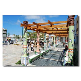
.... with promenades …
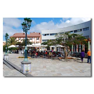
... and nice places for coffee and food.
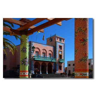
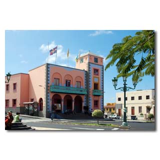
Even the town hall uses the typical Moorish colouring and is decorated by…
...a well…
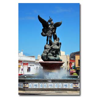
... decorated with waterworks.
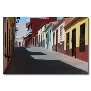
Besides picturesque alleys, Tazacorte is the starting point for…
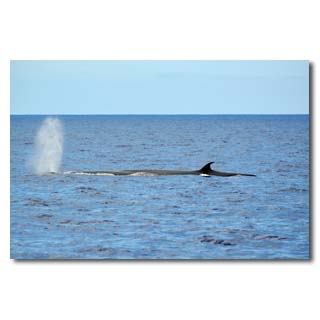
... Whalewatching trips (here a Bryde whale) …
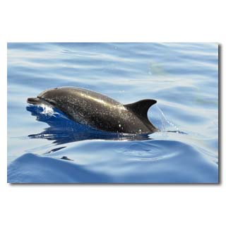
... and encounters with dolphins (here a spotted dolphin) …
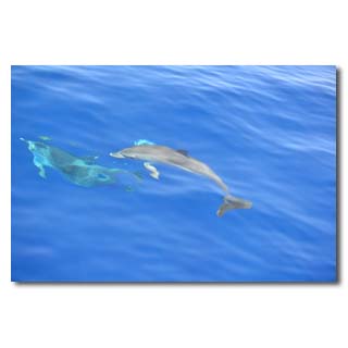
... who with their playful…
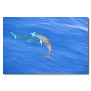
... ballet…
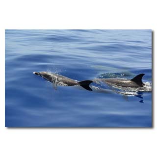
... charm…
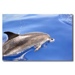
... and look at us curiously.

Caldera de Taburiente
The famous Caldera is the heart of the national park and a must for all La Palma visitors.
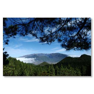
Caldera means 'cettle' - with ist 6 km diameter, the Caldera de Taburiente is a truly great kettle!
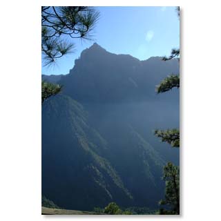
Protected by steep mountain slopes it offered good protection from time immemorial - against winds from almost all directions, as well as once the Spanish conquerors.
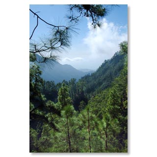
ts dense forests attract hikers from all over the world and offer pleasant coolness even in midsummer.
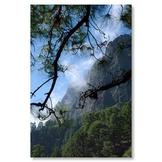
Due to large temperature differences between the sunlit rock faces and the sweeping north-east trade wind, often rapidly changing weather phenomena can be observed.
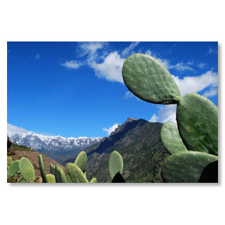
Thus the Cumbre carries from time to time a white decoration, while at the entrance of the Caldera cacti and tropical fruits prosper
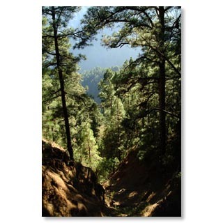
Inside the erosion crater thrives the Canary pine, an endemic species whose indestructible wood can be found in almost all of the island's historic houses.
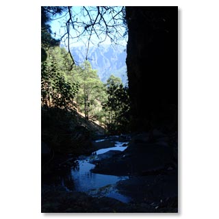
Water-bearing streams provide lush green all year round
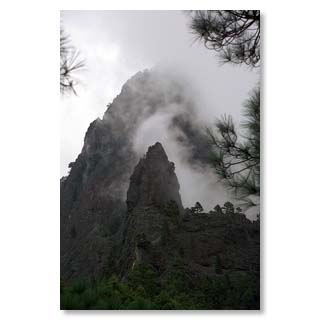
The Cumbrecita forms the southern boundary of the caldera and is easily accessible by car for a shorter hike.

From the Caldera to Fuencaliente - imposing views on a hike through the evolutionary history of La Palma
Who climbs early in the morning from the Refugio el Pilar to the Cumbre, can walk to the southern tip in a day on the roof of the island and follow the volcanic eruptions. Fantastic views to the west and east coasts of the island, original lava fields, various vegetation and climate zones reward the effort of the seven-hour hike.
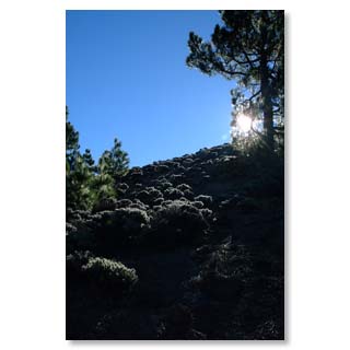
Ascent to Cumbre Vieja
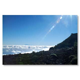
View to the Teide, the highest mountain of Spain on the neighbouring island Tenerife
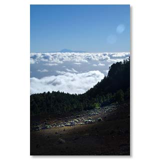
Almost like in an airplane
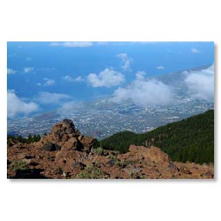
View from Birigoyo to the harbour of Tazacorte
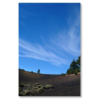
Volcanic ash at Birigoyo
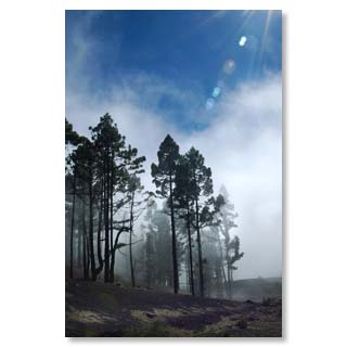
Canary pines can milk the clouds and create their own showers with their long needles
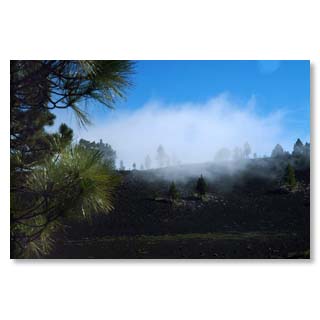
At Hoyo Negro

Fuencaliente - the hot spring
Fuencaliente (hot spring) is the southernmost place of La Palma and had a natural, hot and sacred spring until an eruption of the volcano San Antonio at the turn of the year 1677/1678. After it was buried during the eruption of Antonio, the place was renamed Los Canarios. Today both names are common and also the hot spring was found again. In a natural sea swimming pool you can enjoy the geothermally heated water, a thermal bath is to be built there.
The Teneguia volcanic cone, which was only created in 1971, is a popular excursion destination. A visitor centre provides interesting insights into volcanic activity at the southern tip of Isla Bonita.
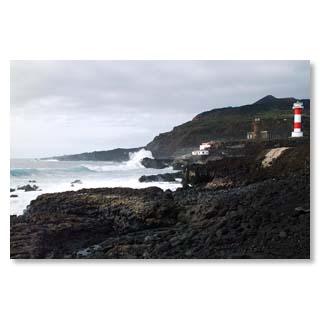
The new lighthouse, which was built after the last volcanic eruption in 1971, because the old lighthouse was too far inland due to the land gain, safely guides shipping around the surging Cape.
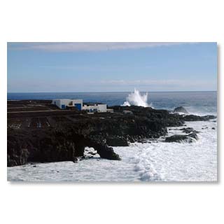
The southern tip is the ideal place to be impressed by the unleashed natural forces of the Atlantic - but please, keep respectful distance.
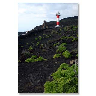
colour contrasts
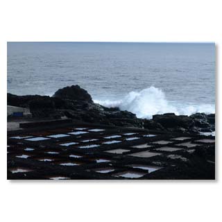
Fuencaliente still uses the power of the sun to extract table salt from the waters of the Atlantic Ocean.
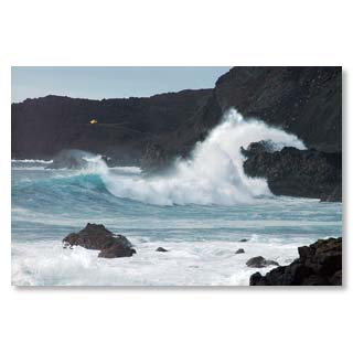
Unleashed forces of nature …
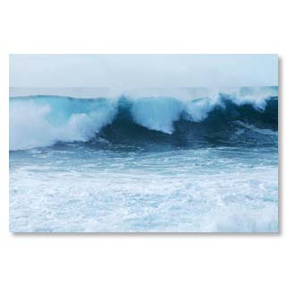
At the pointed southern cape, different currents meet, which is why particularly high and chaotic swell can often be observed here.
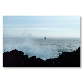
Sailors circumnavigate the cape at a safe distance
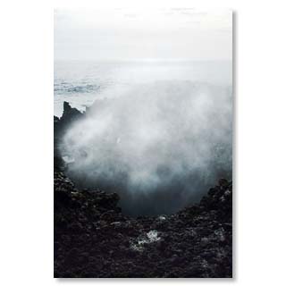
Blowholes impressively show the power of water…
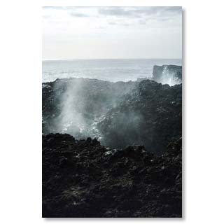
... to soon disappear again through the tidal range
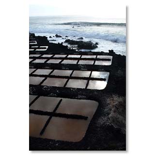
The salt from Fuencaliente is popular for the preparation of the typical island speciality'papas arrugadas' (shrunken potatoes).
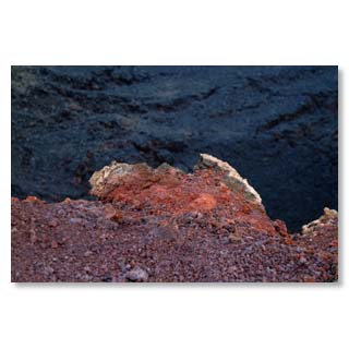
At San Antonio the heat of the last volcanic eruption can still be felt today
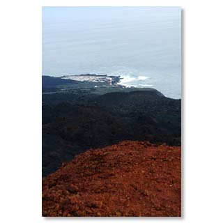
View from San Antonio to the Cape
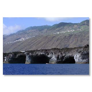
Just a few miles north of the Cape, the sea is calm and smooth. Huge caves open up to the sailor.

Garafía - La Palma's wild north
Garafía extends over the north-west corner of La Palma and delights visitors with its wild landscape, lush green vegetation and secluded forests. The coast here is mostly particularly rough, so that Garafía was hardly accessible for a long time. Only with the construction of the road in the nineties of the last century the municipality became comfortably accessible, before this was only possible on foot, with the donkey or the barge under adventurous conditions. The municipality is divided into the main town of Santo Domingo de Garafía and 12 other villages with between 40 and 300 inhabitants, making it a refuge for those seeking peace and quiet. With its extensive laurel and pine forests, it is an Eldorado for hikers, mountain bikers, marathon runners and people who simply want to relax in the peace and beauty of nature.
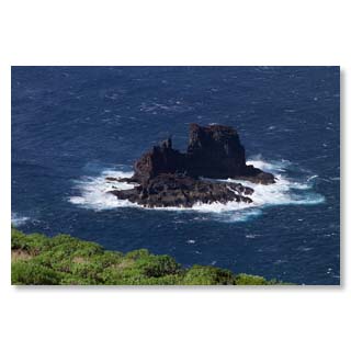
Garafía's rugged coast with islets off the coast
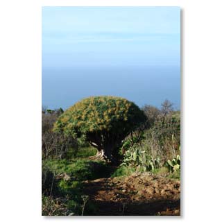
The centuries-old dragon trees are particularly popular…
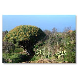
... which is the subject of many legends
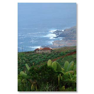
Lonely farms and strong swell characterize the community
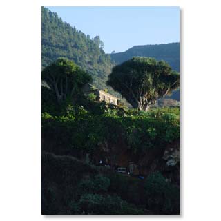
Nature lovers have always lived here
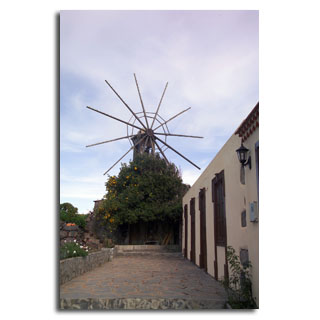
Historical gofia mill in Hoya Grande
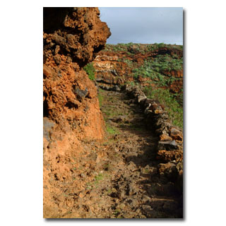
Old royal roads are still in use today as connections between the villages…
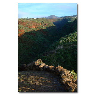
... and serve the hikers…
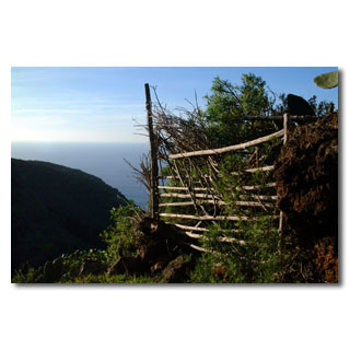
... to explore the island.
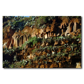
Column basalt tells the hiker about the history of La Palma
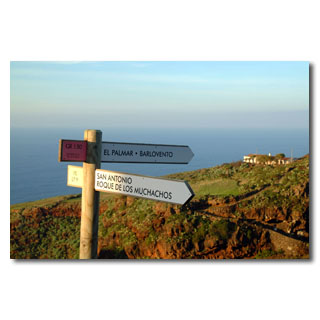
Today the network of paths is well waymarked and is mostly based on the old 'Caminos Reales'
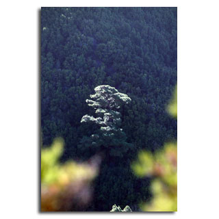
Partially impenetrable pine forests characterize the landscape
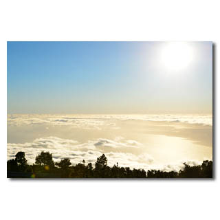
This 'aircraft perspective' high above the clouds…
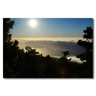
... fascinates again and again and invites…
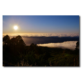
... to stay …
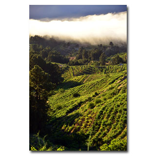
... in anticipation of the evening glass of wine that is cultivated here.
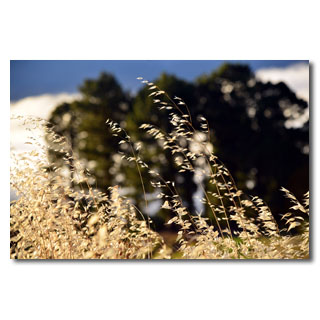
Grain was also widely cultivated in the north, and the wild oats are still a silent witness of these times.
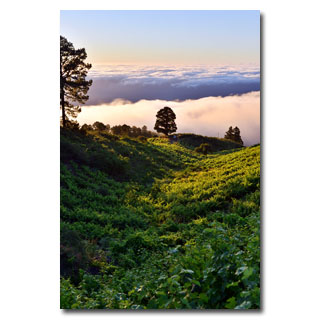
Today, however, vine-growing dominates in this rough area.
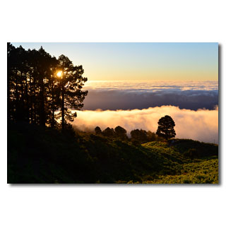
Often you just can't get away from the spectacle of the sinking…
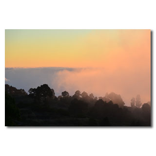
... sun release, if the evening brings the fog…
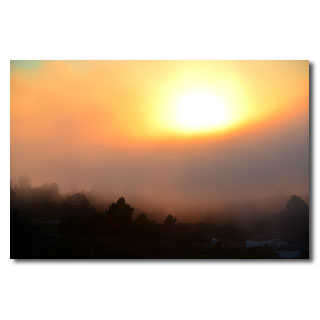
... which changes the panorama every second…
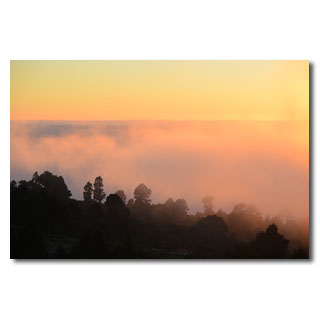
... until the red tones…
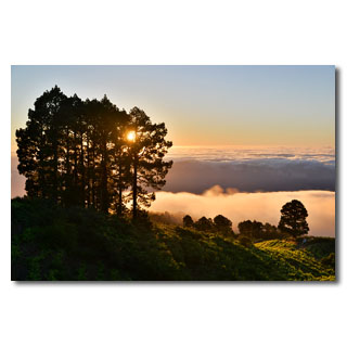
... be replaced by the darkness of the night.
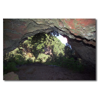
In this cave in 'La Zarza' once lived the Guanches,…
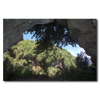
... natives of La Palma.
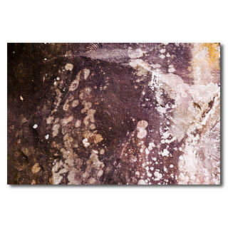
Their spiral rock drawings …
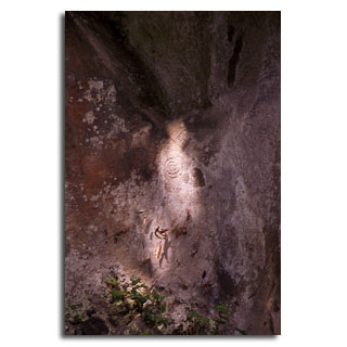
... no one has yet deciphered…
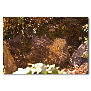
... but the sight is fascinating.
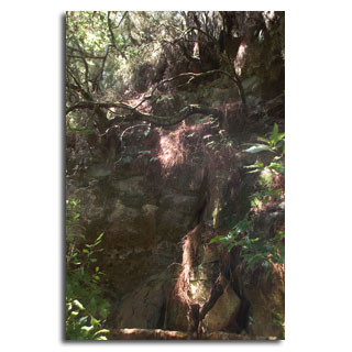
Im mystisch wirkenden Lorbeerwald von La Zarza …
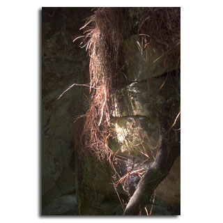
... it wouldn't come as a surprise…
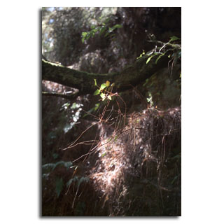
... if a fairy…
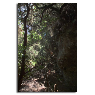
... a gnome…
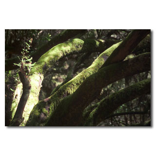
...or a troll would see around the corner.

Puerto Naos - beach under coconut palms
Puerto Naos, part of Los Llanos, is the most famous seaside resort on the west coast of La Palma. Its sandy beach, several hundred metres long and very wide, is partly shaded by coconut palms, along the promenade you will find cafés, restaurants, boutiques and small shops.
Paragliders often land on a place separated from the beach and enjoy the flight on the cliffs of La Palma.
Swimming is possible all year round, but you should respect the red flag, which indicates a bathing ban, because the Atlantic Ocean burns unhindered to our beautiful island and demands attention.
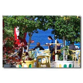
Beach promenade for strolling and feasting
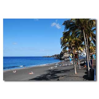
Palm-lined beach where there is always enough space.
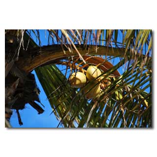
The mild climate also makes coconuts ripen
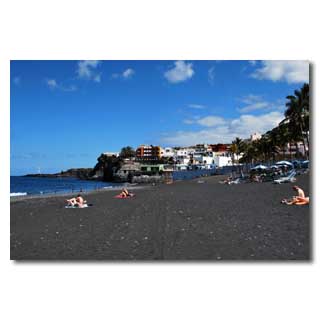
Bathing pleasure for individualists
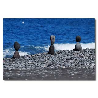
Fragile beach art …
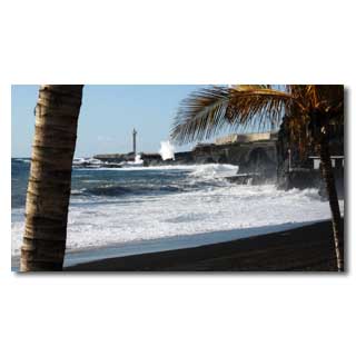
... and impressive Atlantic waves. Such a swell is rare, but all the more impressive

Tijarafe - the beginning of the beautiful north
The municipality of Tijarafe stretches northwest of the Caldera, from'Mirador el Time' to Tinizara. The landscape is lovely green and marked by many thousands of almond trees, as well as the typical island dragon trees. Tijarafe became famous for its Devil's Celebration, to which thousands of guests visit the small community every year, as well as the'Smuggler's Bay', to which a short hike is worthwhile.
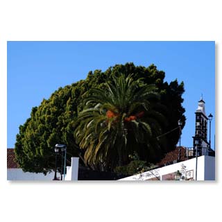
Even from a distance the visitor sees the majestic laurel tree, which also gives the Plaza of Tijarafe pleasant cool shade.
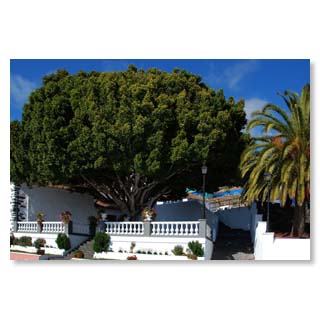
The church square of Tijarafe
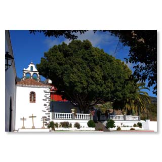
Already in 1530 a chapel was built on today's Plaza, the base for the church'Nuestra Señora de Candelaria
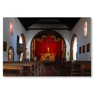
The impressive church of Tijarafe
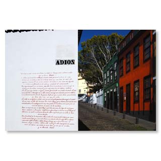
The'Calle Adios', sung about in a poem on the wall of the house.
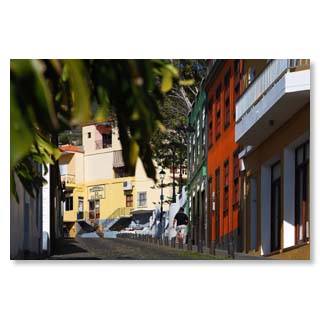
Old town idyll in Tijarafe
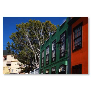
Since the beginning of the nineties, the island has shone in new colours.
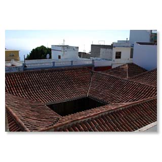
Typical Canarian roof, here formed into a shady patio.
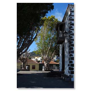
Idyll at the church square
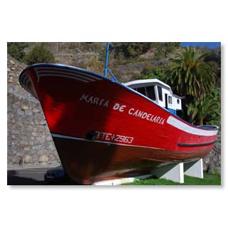
Popular meeting place: The fishing boat of Tijarafe, which unfortunately has recently disappeared.
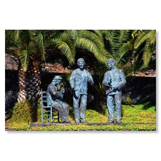
In a small cactus park the'Cantadores' meet.
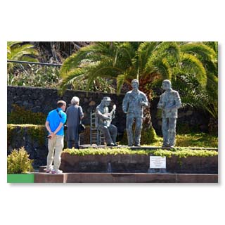
The 'Palmeros', as the inhabitants of La Palma call themselves, are very singing…
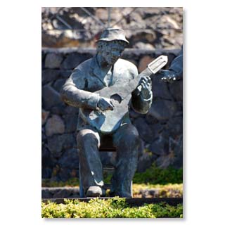
There are many statues that keep this beautiful culture alive.

Cueva de Candelaria - the so-called smugglerbay
Below the city Tijarafe is a vast half-cave in which is a small collection of houses. Today these are used by local people as a weekend or summer residence, for fishing, barbecuing and joint celebrations.
The bay, at the end of which the houses and the landing place for boats is located is protected by small islets from prying eyes - from land prevents the overhanging rock the view of the houses. Thus, the cave used to be able to land "free" goods, which is still remembered today by its nickname
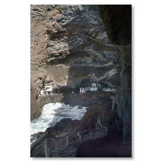
The huge rock face protected against unwanted 'insights'
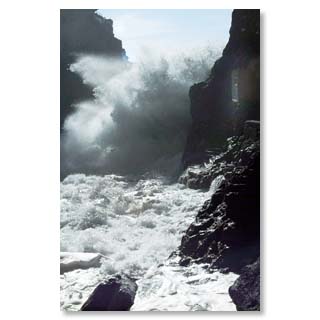
In winter, the breakers are often so strong that landing is impossible. In summer the bay is a popular place for swimming with locals and guests.
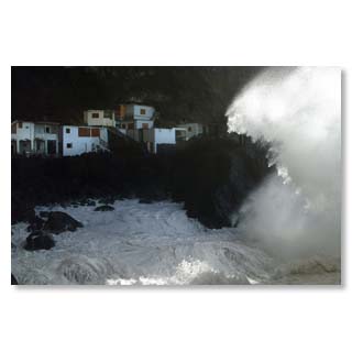
Even in earlier centuries, it took particularly brave and strong men to bring the heavy wooden boats safely ashore.
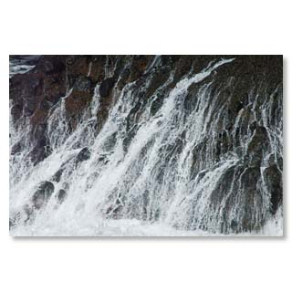
Please swim here only in absolutely calm summer weather!
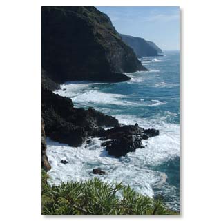
The well hidden entrance to the cave on the impressive cliffs of La Palma
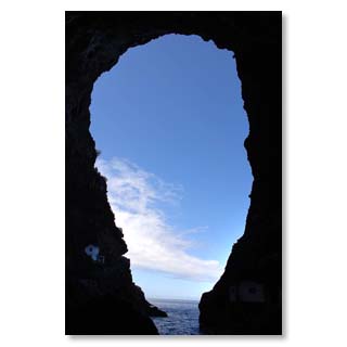
Optimum privacy protection on all sides

El Paso
El Paso is the municipality with the largest area of La Palma and borders with practically all other municipalities (except Tazacorte). It is the only municipality that does not have direct access to the sea, but the huge national park 'Caldera de Taburiente' is part of its territory. The population is predominantly rural, extensive pine forests and pastures belong to El Paso. The 'cloud fall' of the Cumbre is well known: The most predominant northeastern trade wind drives the clouds over the broad mountain saddle above El Pasos. Afterwards, the clouds warm up on the sunny slopes so that the air can absorb more water vapour and the clouds dissolve.
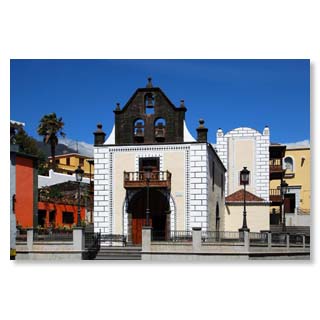
The pilgrimage chapel 'Iglesia de Nuestra Señora de Bonanza' rises majestically above the old town of El Paso.
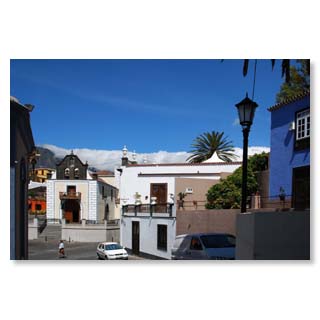
During the fiesta on the occasion of the Heart-Jesus-Celebration in June, the entire plaza is decorated with flowers.
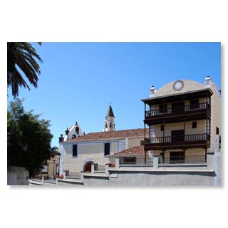
The special architecture with its geometric graffito works and the open balconies shape its particularly beautiful appearance…
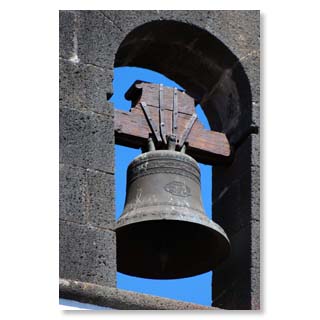
... and the tower with three bells.
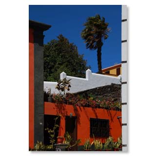
In front of the church you get to the…
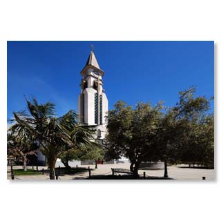
… gleichnamigen, neueren Kirche der Heiligen Jungfrau von Bonanza.
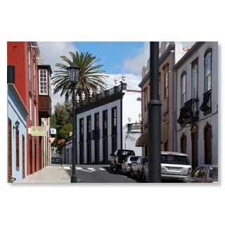
Calle General Mola, with its mixture of colonial and Canarian architecture, invites you to stroll around and stay in one of the cafés…
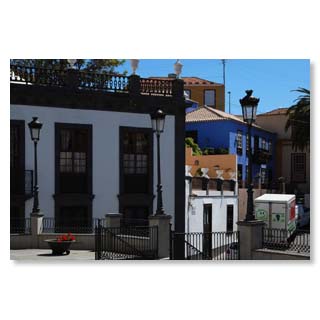
... with its picturesque places…
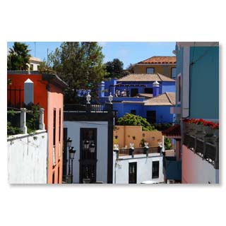
... and alleys…
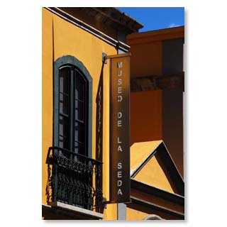
... and the silk museum, which shows the traditional craftsmanship of El Paso.
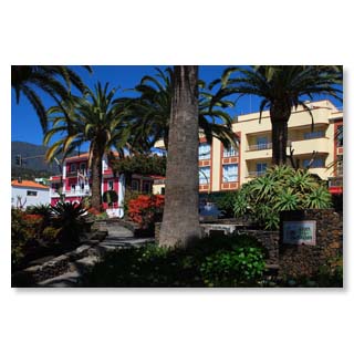
The park on Antonio Pino Pérez Street has been redesigned in recent years…
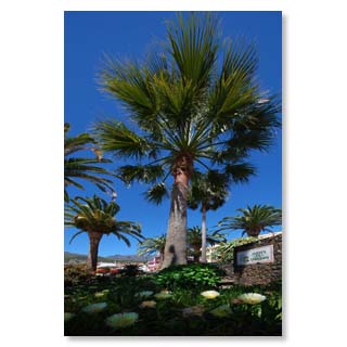
... The Parque El Paredón …
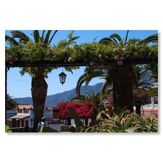
... forms a green oasis right next to…
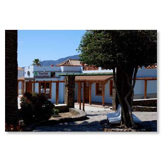
... of the tourist information on the one hand …
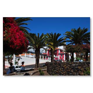
...and City Hall, on the other hand.
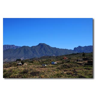
The mountain range of nearby Bejenado shapes the image of the city. Because of its shape it is also called 'El Guanche relajado - The relaxed aboriginal'.

Puntagorda - popular village in the northwest
With around 2000 inhabitants Puntagorda is one of the smaller but particularly charming communities of La Palma. The climate is dry and sunny in summer, in winter the north-east trade winds give the village heavy precipitation from time to time, which makes the gardens and fields very fertile. Over the past decades, organic vegetable growing has become established - the farmers' market held on Saturday afternoons and Sunday mornings has become a magnet for locals and guests alike.
Originally, the population lived mainly from almond cultivation, and thousands of almond trees still immerse the surrounding area in picturesque pink between the end of January and the end of March.
The numerous Portuguese settlers made San Mauro their patron saint in the 16th century and gave its name to the first settlement in the Puntagorda area. In honour of him they began in 1571 with the construction of a large, single-nave church in Canarian style, the 'Iglesia de San Mauro Abad'. It has been reconstructed several times over the centuries, has neoclassical and baroque style elements and still serves today as a worth seeing and listening procession which takes place in the middle of January as well as a big fiesta with musical and culinary highlights in August.
The old and the new 'harbour', in former times actually the only possibility to visit the place, are today popular weekend and summer destinations for the locals. Bathing is possible in summer, in winter only in very calm weather.
The southern entrance to the village is marked by a 600-year-old dragon tree, to which a small park with picnic facilities was dedicated.
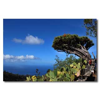
The old dragon tree of Puntagorda …
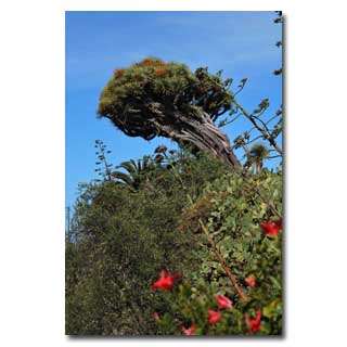
... landmark of the community.
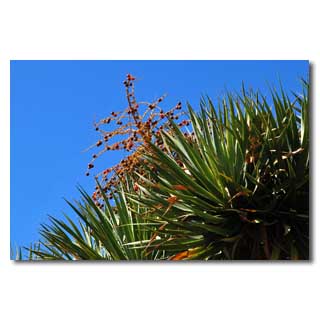
Its seeds are popular souvenirs for your own cultivation on the windowsill.
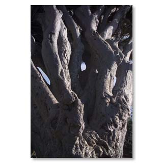
The dragon tree is in fact a perennial.
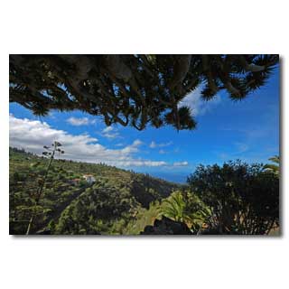
Dragon tree roofed view…
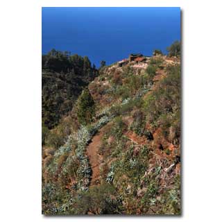
... to a wild and romantic landscape.
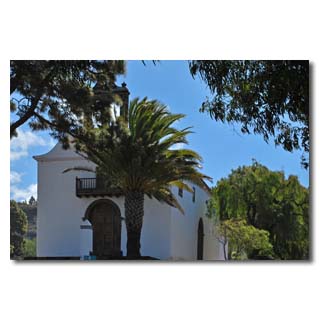
The church of the patron saint San Mauro Abad…
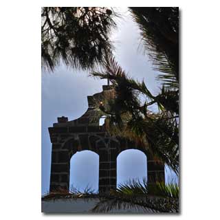
.... with baroque bell holder …
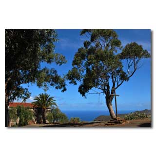
... and the best place for a happy fiesta.
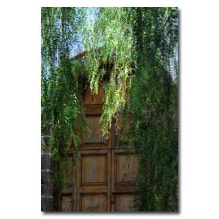
false pepper trees provide cool shade…
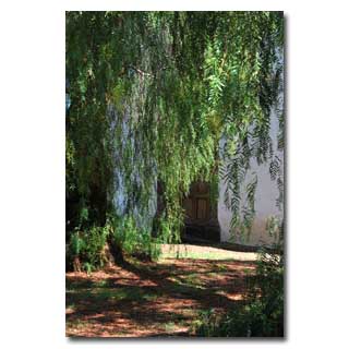
... and lend romantic flair.
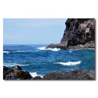
The 'old port', formerly the only access to the community.
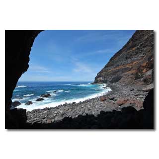
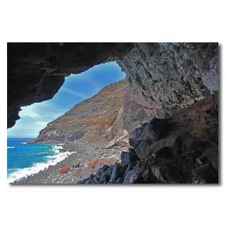
Huge, shady cave
As in many places, the…
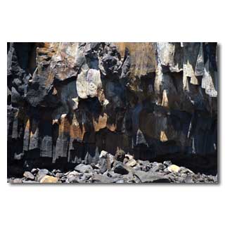
… Basaltsäulen mit ihrer stark ausgeprägten ... basalt columns with their highly pronounced crystalline structure from the enormous pressure that weighed on them at great depths for millions of years before a volcanic eruption brought them to daylight.
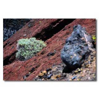
A soft play of colours in an archaic landscape.
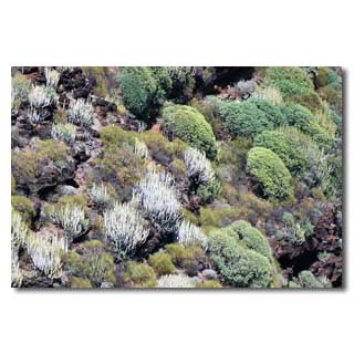
Sukkuleen of the arid zone between 0 and 200 meters above sea level…
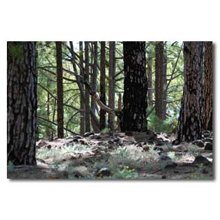
... and gnarled Canary pines at altitudes between 1000 and 1900 m characterize the extreme locations of the municipality…
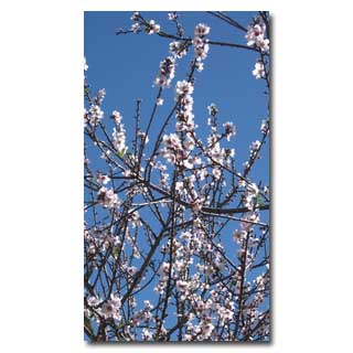
... while the place itself is dominated by almonds.

Roque de Los Muchachos
The 'Roque de los Muchachos' at 2.426 m is the highest elevation of La Palma and hosts the most important international observatory of the northern hemisphere. Here is a real high mountain climate, in winter the 'Roque', as the locals call it, is often covered with a snow or ice cap. The observatory is the cause of the only light protection law in the world that exists on La Palma and because of which we are protected from neon or laser advertising. On the Roque you will not only find what is currently (2013) the world's largest reflector telescope with a diameter of 10,40 m; it is also the starting point for many hiking trails through impressive rock formations and the most diverse climatic zones. From the roof of the island you can usually see the neighbouring islands of Tenerife (with Spain's highest mountain, the Teide), as well as La Gomera and El Hierro. A visit is worthwhile at all seasons, in winter, however, you should pay attention to the signs that indicate the obligation to use snow chains if necessary.
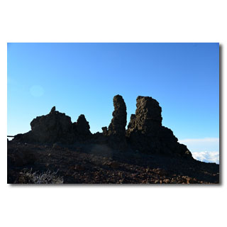
The highest point of the Roque - old volcanic vents defying wind and weather
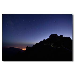
Even closer to the stars - view from the Roque into the Aridane valley…
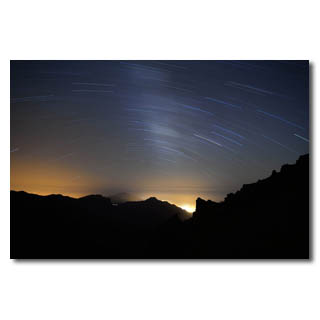
... to the whole splendour of the Milky Way…
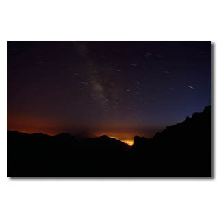
… El Paso …
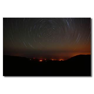
... or to Polaris and the village El Tablado.
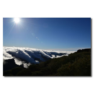
Crystal clear air in the morning sun
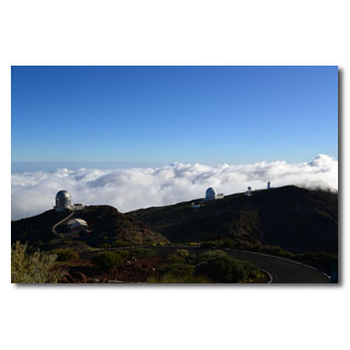
The domes of the telescopes, landmarks of the Roque
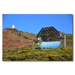
High-tech in an archaic environment
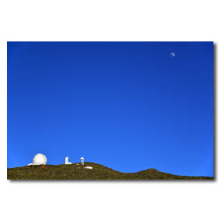
Changing the watch between the sun and moon
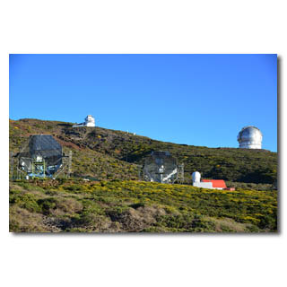
Fastest adjustable reflector telescopes
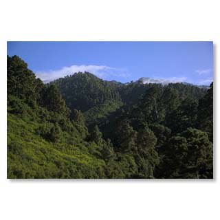
Landmarks visible from afar, seen from El Tablado
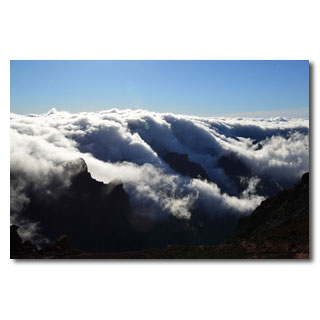
Raging cloud formations
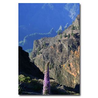
barren high mountain vegetation
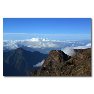
View into the Aridane valley
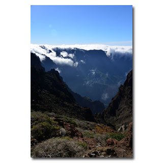
Staggered mountain ranges
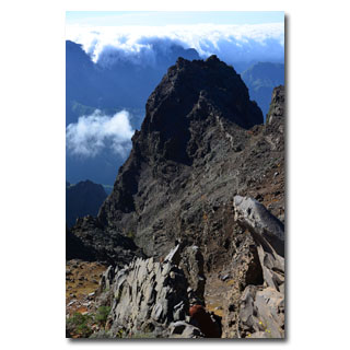
Tuff and basalt, building material La Palmas
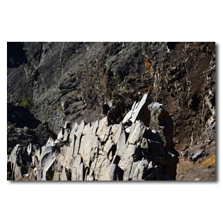
Columned basalt, once formed at great depths under the sea floor, now at lofty heights.
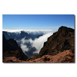
Cloud falls and rich rock colours
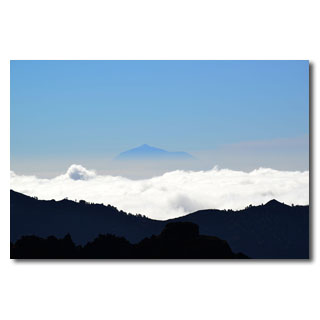
The neighbouring island of Tenerife 'above the clouds'
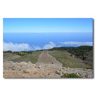
Botanical experimental fields in the high mountains
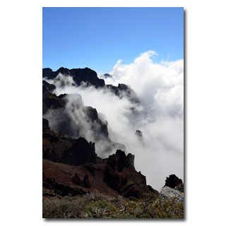
And again and again fascinating and rapidly changing wok formations
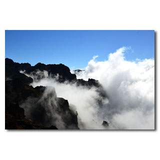
... enjoy …
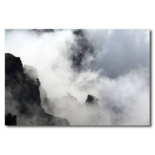
... and experience.
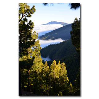
View to Breña Alta
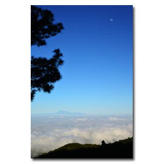
The Teide, Spain's highest mountain
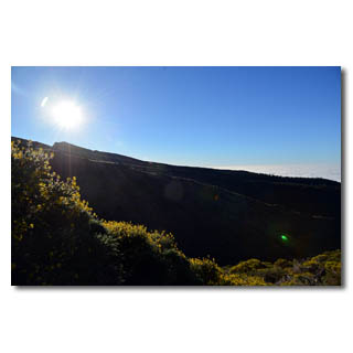
The broom glows in the evening sun
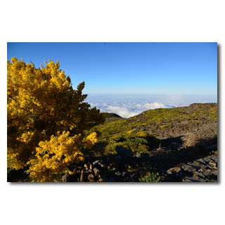
Between tree line and vegetation-free zone enchants a broom with bright color
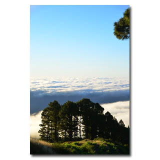
And once again we are above the clouds

Barlovento: The walks of Los Tilos and Marcos y Cordero
Those who want to discover the secret of La Palma's good water supply should take the hikes to Los Tilos and the Marcos y Cordero springs. The latter leads through 13 tunnels that were once laboriously cut out of the rock by hand to get to the water, which is so valuable for La Palma. The top of La Palma consists mainly of volcanic tuff, which is very porous and leads the water well. At an altitude of about 1.000 m, however, there is a massive lid of basalt rock that was originally formed many thousands of meters below sea level under the great pressure of the water and was brought to this height with the enormous eruption that La Palma once created. As basalt is waterproof, springs have been created at this interface that carry water all year round and provide us with drinking water of excellent quality. But the path to the springs was steep and surrounded by almost impenetrable jungle. For example, water channels and tunnels were built in particularly steep places to bring the water to the settlements. You can easily walk along these canals, as they have a gradient of only 3%. However, the tunnels are narrow and partly low. For this hike you should take waterproof shoes, a torch and better also a good head protection, as well as a rain jacket, because in the last tunnel the water already falls from the rock walls and runs everywhere on the ground. Nevertheless, an adventure that is worthwhile and will once again bring you closer to the diversity of La Palma.
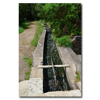
Barlovento: The hikes los Tilos and Marcos y Cordero
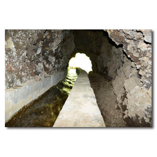
One of the 13 tunnels to the source
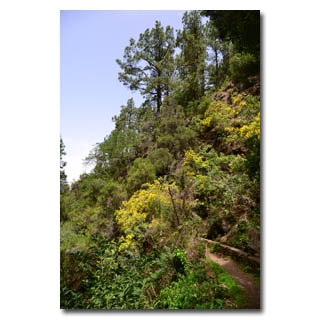
jungle of laurel and pine will accompany you to the springs
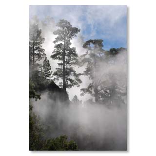
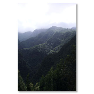
Deep canyons and steep slopes provide impressive weather events…
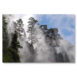
... that change quickly.
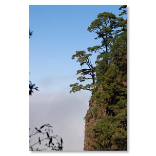
Canarian pine survivor, she also finds support on almost vertical walls…
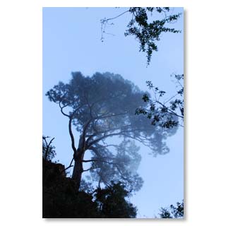
... and grows to imposing size.
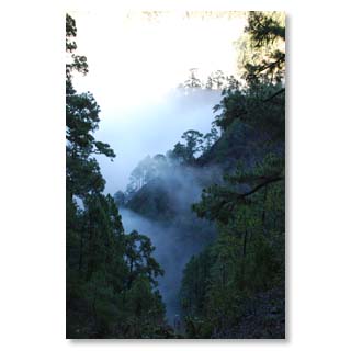
Fog alternates with sun every minute.
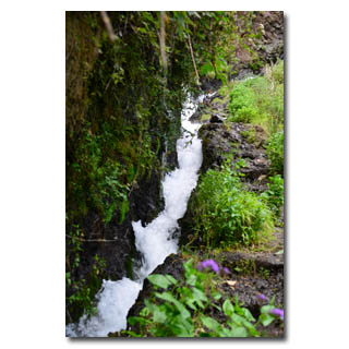
After about 2 hours you reach the spring of Marcos…
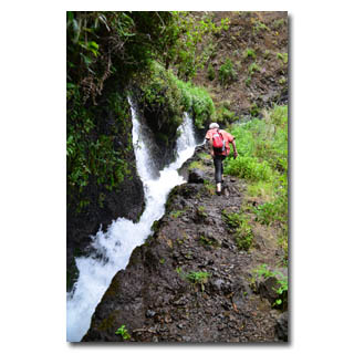
... and a little later …
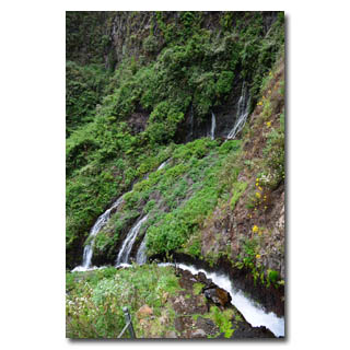
... the fountain of…
… Cordero.
Who undertakes a longer round hike, can still over Los Tilos…
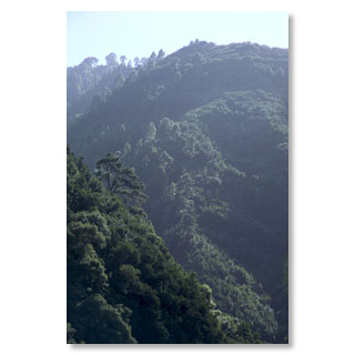
... through evergreen jungle …
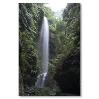
... hike on to the waterfall or approach it separately by car.

San Andres y Sauces - middle centre in the northeast
While the village of San Andres is peacefully situated directly on the coast, the real centre of the municipality of Los Sauces with the 16th century church Montserrat, which overlooks everything, holds Flemish art treasures and whose forecourt is often used for a chat and a small meal. Opposite the church square is another plaza in the shape of the park Antonio Herrera decorated with large araucaria and other tropical plants.
Those who would like to take a bath can do so in the easily accessible sea bath with its protected seawater pool for all ages. There is also a restaurant here and a few minutes away the new harbour of San Andres with its sandy beach invites you to sunbath in absolute peace.
With around 4,500 inhabitants, the municipality is the centre for the villages of Los Gallegos to Puntallana and is easy to reach via the newly built connecting road.
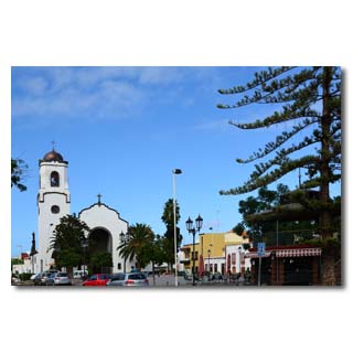
The centre of Los Sauces with the 16th century church'Montserrat
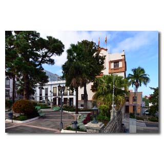
The park 'Antonio Herrera' in the centre of Los Sauces with the town hall…
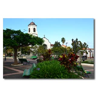
... and tropical planting.
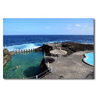
The sea swimming pool 'Charco Azul' invites to a well protected bath in any weather…
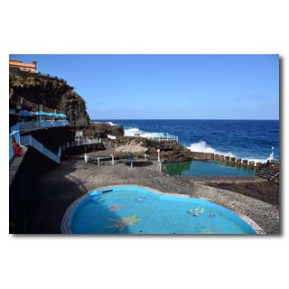
... or also for dinner with a wonderful view of the Atlantic.
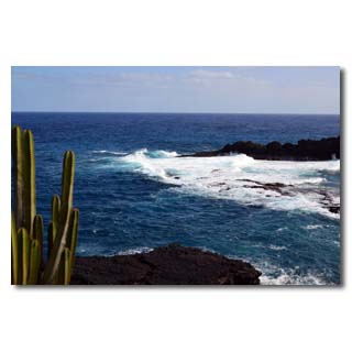
Only the sound of the waves can be heard…
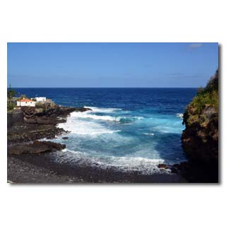
... if you go to the neighbouring'Puerto Espindola'…
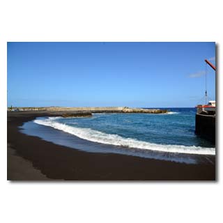
... you will also find a completely lonely beach.

Villa de Mazo
Mazo is located in the southeast of La Palma and consists of the districts of Villa de Mazo, La Rosa, Monte Breña, El Poleal, Monte Pueblo, Lodero, Callejones, San Simon, Lomo Oscuro, La Sabina, Malpaises, Tiguerorte Tigalate and Monte de Luna. The village covers 71 km² and has about 4.800 inhabitants. The popular beach of La Salemera, with its lighthouse visible from afar, also belongs to its municipal area.
The town has a health centre, school and town hall, as well as numerous shopping facilities, bars and restaurants.
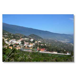
View from the south to the core community of Mazo
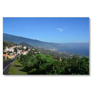
Mazo and the bay of Santa Cruz
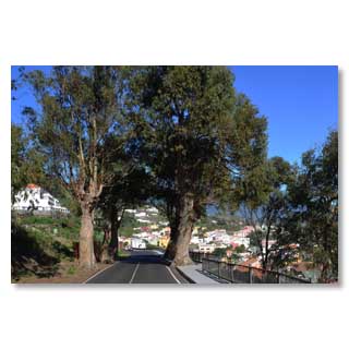
Eucalyptus as avenue trees, not everyone has
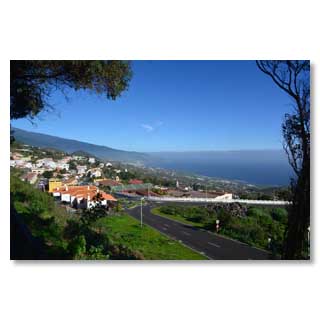
The southern entrance of Mazo
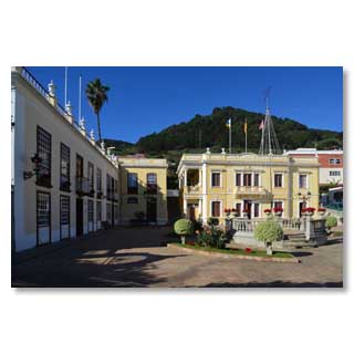
Mazo City Hall in colonial style
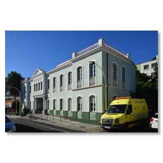
Mazo Health Centre (Centro de salud)
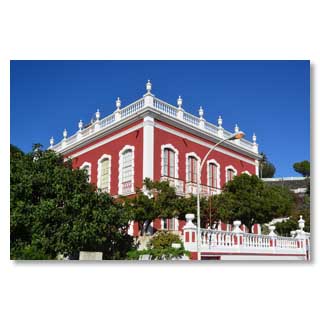
Casa roja' - the Red House houses two museums: one on Corpus Christi, the other on traditional embroidery. Open: 10:00-14:00 and 15:00-18:00 (Mon-Fri), 11:00-18:00 (Sat) and 10:00-14:00 (Sun)
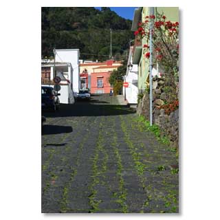
Fortunately there is no snow and ice here…
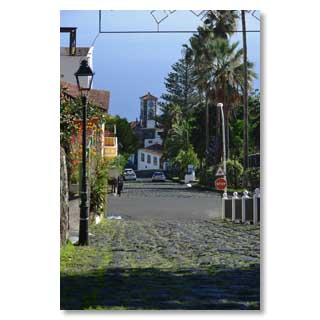
... because the original paved streets of Mazo are very steep
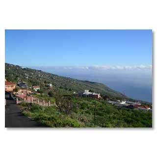
Tigalate district

© 2012 by Bernd and Nadja Blume. Copys of pictures or texts, either if digital or printed only are allowed with the written permit of the authors.


