Fuencaliente - the hot spring
Fuencaliente (hot spring) is the southernmost place of La Palma and had a natural, hot and sacred spring until an eruption of the volcano San Antonio at the turn of the year 1677/1678. After it was buried during the eruption of Antonio, the place was renamed Los Canarios. Today both names are common and also the hot spring was found again. In a natural sea swimming pool you can enjoy the geothermally heated water, a thermal bath is to be built there.
The Teneguia volcanic cone, which was only created in 1971, is a popular excursion destination. A visitor centre provides interesting insights into volcanic activity at the southern tip of Isla Bonita.
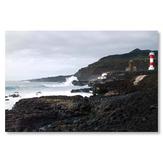
The new lighthouse, which was built after the last volcanic eruption in 1971, because the old lighthouse was too far inland due to the land gain, safely guides shipping around the surging Cape.
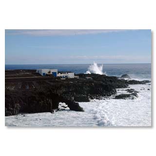
The southern tip is the ideal place to be impressed by the unleashed natural forces of the Atlantic - but please, keep respectful distance.
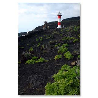
colour contrasts
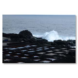
Fuencaliente still uses the power of the sun to extract table salt from the waters of the Atlantic Ocean.
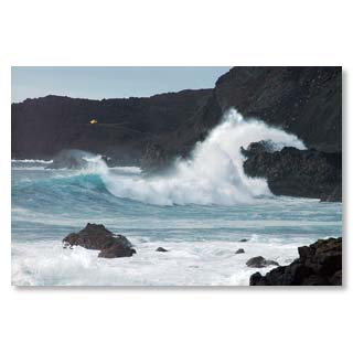
Unleashed forces of nature …
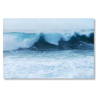
At the pointed southern cape, different currents meet, which is why particularly high and chaotic swell can often be observed here.
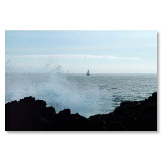
Sailors circumnavigate the cape at a safe distance
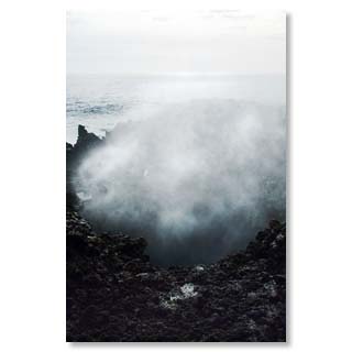
Blowholes impressively show the power of water…
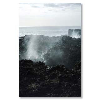
... to soon disappear again through the tidal range
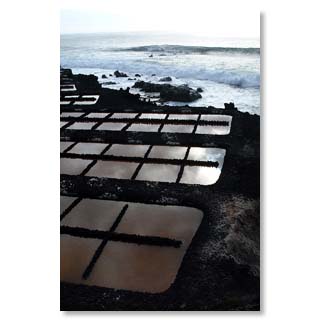
The salt from Fuencaliente is popular for the preparation of the typical island speciality'papas arrugadas' (shrunken potatoes).
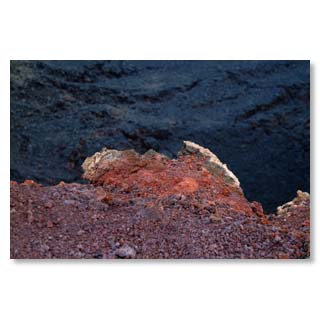
At San Antonio the heat of the last volcanic eruption can still be felt today
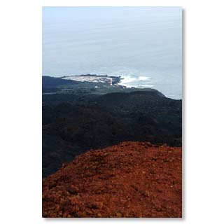
View from San Antonio to the Cape
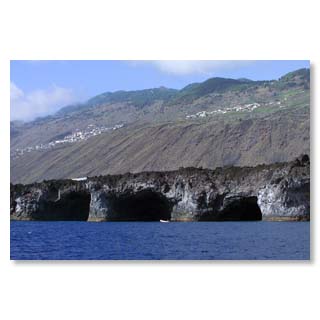
Just a few miles north of the Cape, the sea is calm and smooth. Huge caves open up to the sailor.

From the Caldera to Fuencaliente - imposing views on a hike through the evolutionary history of La Palma
Who climbs early in the morning from the Refugio el Pilar to the Cumbre, can walk to the southern tip in a day on the roof of the island and follow the volcanic eruptions. Fantastic views to the west and east coasts of the island, original lava fields, various vegetation and climate zones reward the effort of the seven-hour hike.
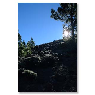
Ascent to Cumbre Vieja
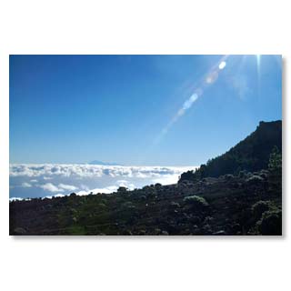
View to the Teide, the highest mountain of Spain on the neighbouring island Tenerife
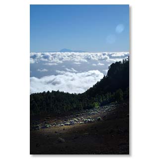
Almost like in an airplane
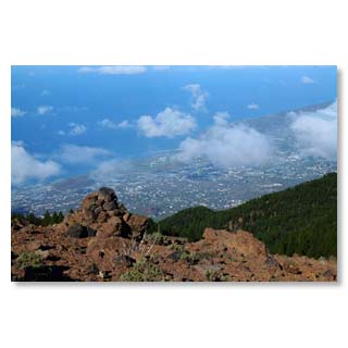
View from Birigoyo to the harbour of Tazacorte
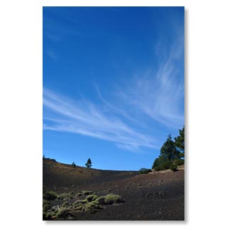
Volcanic ash at Birigoyo
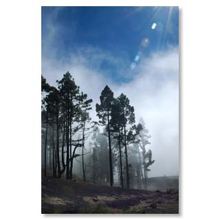
Canary pines can milk the clouds and create their own showers with their long needles
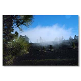
At Hoyo Negro

© 2012 by Bernd y Nadja Blume. Copias de los textos o fotos, igual que sean digital o imprimido sólo son permitido con la licencia por escrito de los autores.


