El Paso
El Paso is the municipality with the largest area of La Palma and borders with practically all other municipalities (except Tazacorte). It is the only municipality that does not have direct access to the sea, but the huge national park 'Caldera de Taburiente' is part of its territory. The population is predominantly rural, extensive pine forests and pastures belong to El Paso. The 'cloud fall' of the Cumbre is well known: The most predominant northeastern trade wind drives the clouds over the broad mountain saddle above El Pasos. Afterwards, the clouds warm up on the sunny slopes so that the air can absorb more water vapour and the clouds dissolve.
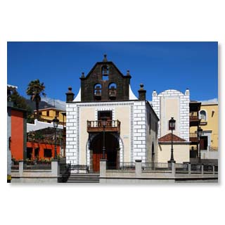
The pilgrimage chapel 'Iglesia de Nuestra Señora de Bonanza' rises majestically above the old town of El Paso.
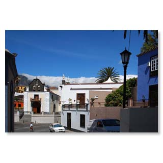
During the fiesta on the occasion of the Heart-Jesus-Celebration in June, the entire plaza is decorated with flowers.
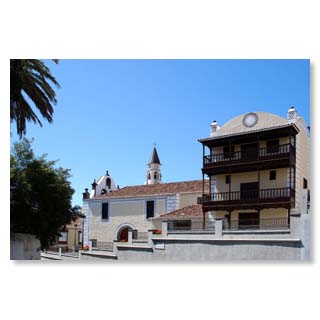
The special architecture with its geometric graffito works and the open balconies shape its particularly beautiful appearance…
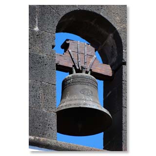
... and the tower with three bells.
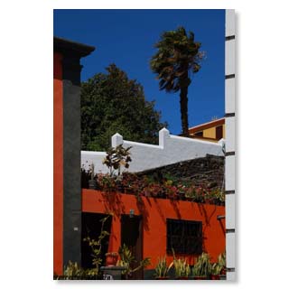
In front of the church you get to the…
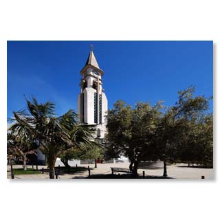
… gleichnamigen, neueren Kirche der Heiligen Jungfrau von Bonanza.
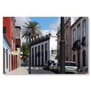
Calle General Mola, with its mixture of colonial and Canarian architecture, invites you to stroll around and stay in one of the cafés…
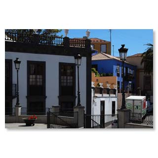
... with its picturesque places…
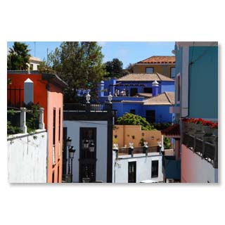
... and alleys…
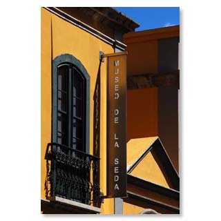
... and the silk museum, which shows the traditional craftsmanship of El Paso.
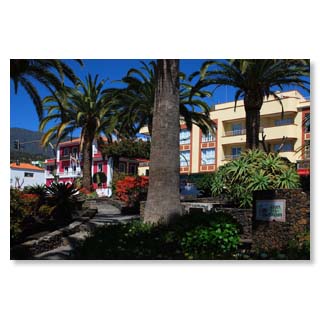
The park on Antonio Pino Pérez Street has been redesigned in recent years…
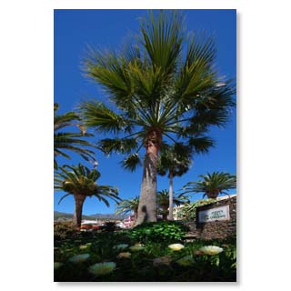
... The Parque El Paredón …
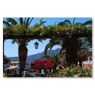
... forms a green oasis right next to…
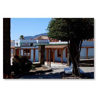
... of the tourist information on the one hand …
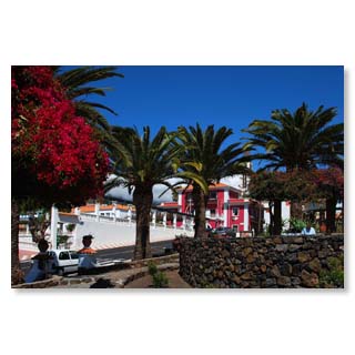
...and City Hall, on the other hand.
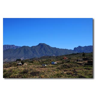
The mountain range of nearby Bejenado shapes the image of the city. Because of its shape it is also called 'El Guanche relajado - The relaxed aboriginal'.

Roque de Los Muchachos
The 'Roque de los Muchachos' at 2.426 m is the highest elevation of La Palma and hosts the most important international observatory of the northern hemisphere. Here is a real high mountain climate, in winter the 'Roque', as the locals call it, is often covered with a snow or ice cap. The observatory is the cause of the only light protection law in the world that exists on La Palma and because of which we are protected from neon or laser advertising. On the Roque you will not only find what is currently (2013) the world's largest reflector telescope with a diameter of 10,40 m; it is also the starting point for many hiking trails through impressive rock formations and the most diverse climatic zones. From the roof of the island you can usually see the neighbouring islands of Tenerife (with Spain's highest mountain, the Teide), as well as La Gomera and El Hierro. A visit is worthwhile at all seasons, in winter, however, you should pay attention to the signs that indicate the obligation to use snow chains if necessary.
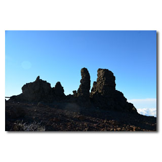
The highest point of the Roque - old volcanic vents defying wind and weather
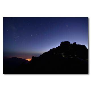
Even closer to the stars - view from the Roque into the Aridane valley…
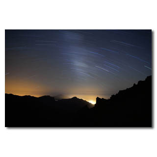
... to the whole splendour of the Milky Way…
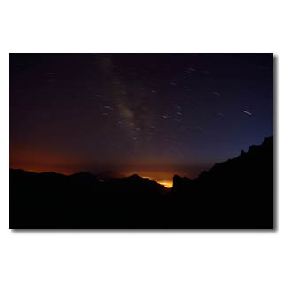
… El Paso …
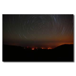
... or to Polaris and the village El Tablado.
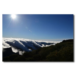
Crystal clear air in the morning sun
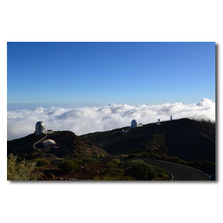
The domes of the telescopes, landmarks of the Roque
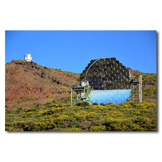
High-tech in an archaic environment

Changing the watch between the sun and moon
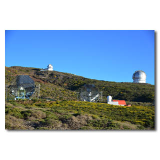
Fastest adjustable reflector telescopes
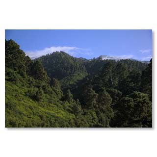
Landmarks visible from afar, seen from El Tablado
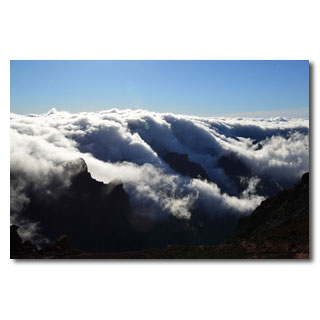
Raging cloud formations
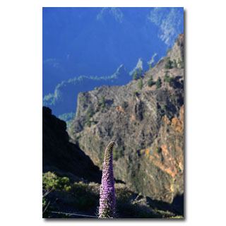
barren high mountain vegetation
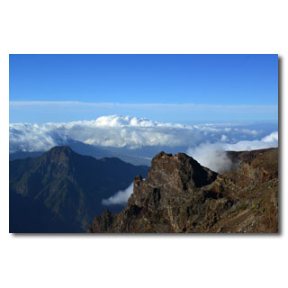
View into the Aridane valley
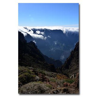
Staggered mountain ranges
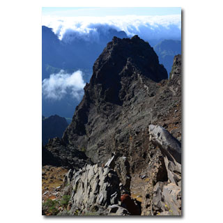
Tuff and basalt, building material La Palmas
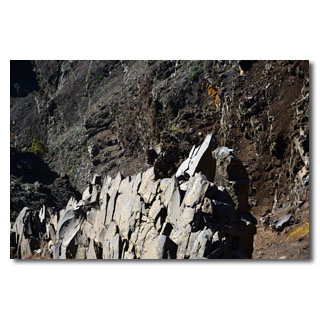
Columned basalt, once formed at great depths under the sea floor, now at lofty heights.
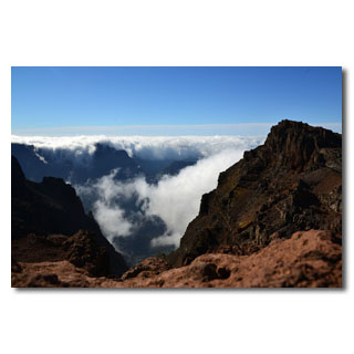
Cloud falls and rich rock colours
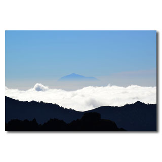
The neighbouring island of Tenerife 'above the clouds'
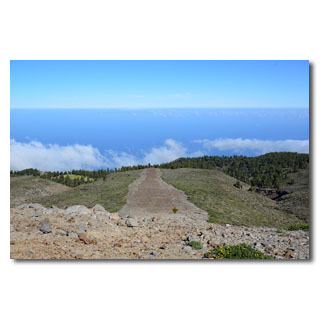
Botanical experimental fields in the high mountains
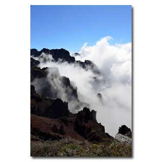
And again and again fascinating and rapidly changing wok formations
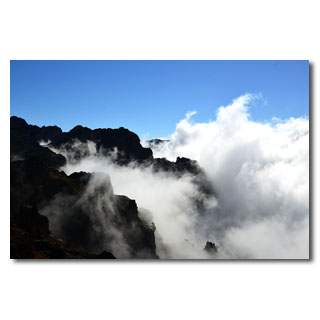
... enjoy …
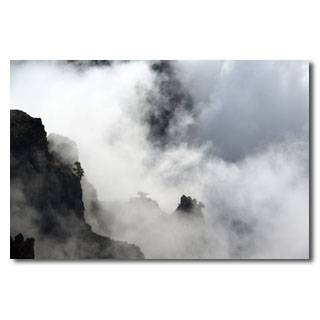
... and experience.
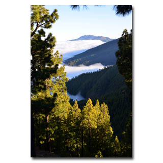
View to Breña Alta
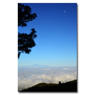
The Teide, Spain's highest mountain
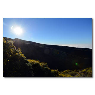
The broom glows in the evening sun
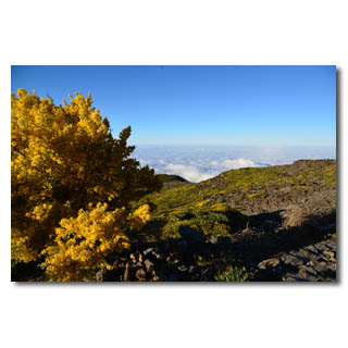
Between tree line and vegetation-free zone enchants a broom with bright color
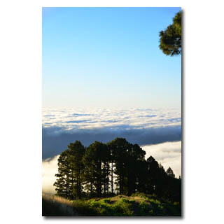
And once again we are above the clouds

From the Caldera to Fuencaliente - imposing views on a hike through the evolutionary history of La Palma
Who climbs early in the morning from the Refugio el Pilar to the Cumbre, can walk to the southern tip in a day on the roof of the island and follow the volcanic eruptions. Fantastic views to the west and east coasts of the island, original lava fields, various vegetation and climate zones reward the effort of the seven-hour hike.
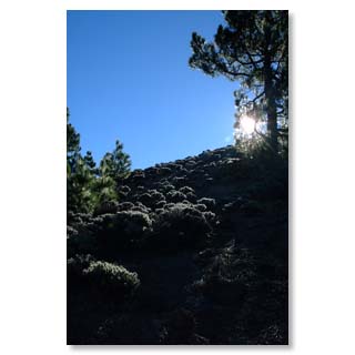
Ascent to Cumbre Vieja
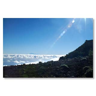
View to the Teide, the highest mountain of Spain on the neighbouring island Tenerife
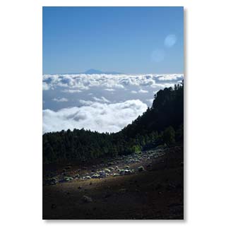
Almost like in an airplane
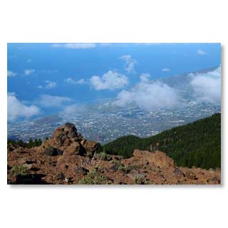
View from Birigoyo to the harbour of Tazacorte
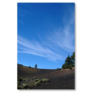
Volcanic ash at Birigoyo
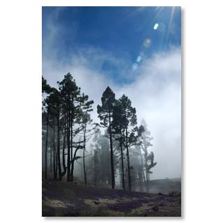
Canary pines can milk the clouds and create their own showers with their long needles
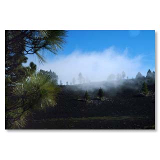
At Hoyo Negro

Caldera de Taburiente
The famous Caldera is the heart of the national park and a must for all La Palma visitors.
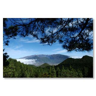
Caldera means 'cettle' - with ist 6 km diameter, the Caldera de Taburiente is a truly great kettle!
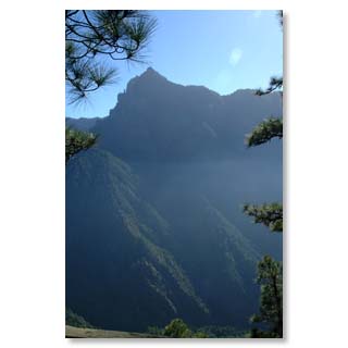
Protected by steep mountain slopes it offered good protection from time immemorial - against winds from almost all directions, as well as once the Spanish conquerors.
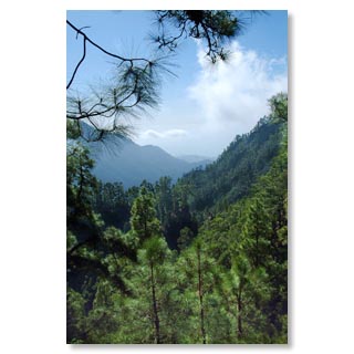
ts dense forests attract hikers from all over the world and offer pleasant coolness even in midsummer.
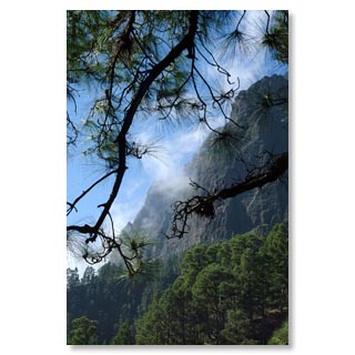
Due to large temperature differences between the sunlit rock faces and the sweeping north-east trade wind, often rapidly changing weather phenomena can be observed.
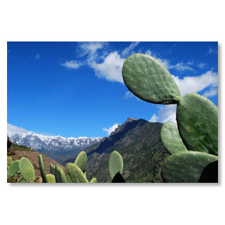
Thus the Cumbre carries from time to time a white decoration, while at the entrance of the Caldera cacti and tropical fruits prosper
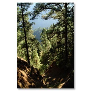
Inside the erosion crater thrives the Canary pine, an endemic species whose indestructible wood can be found in almost all of the island's historic houses.
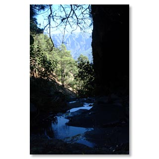
Water-bearing streams provide lush green all year round
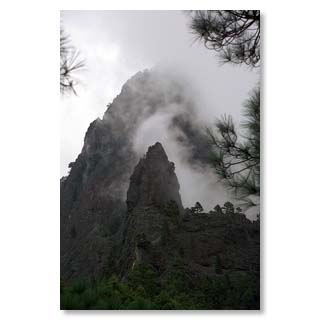
The Cumbrecita forms the southern boundary of the caldera and is easily accessible by car for a shorter hike.

© 2012 by Bernd y Nadja Blume. Copias de los textos o fotos, igual que sean digital o imprimido sólo son permitido con la licencia por escrito de los autores.


